

Urban Flooding Through a Human Lens
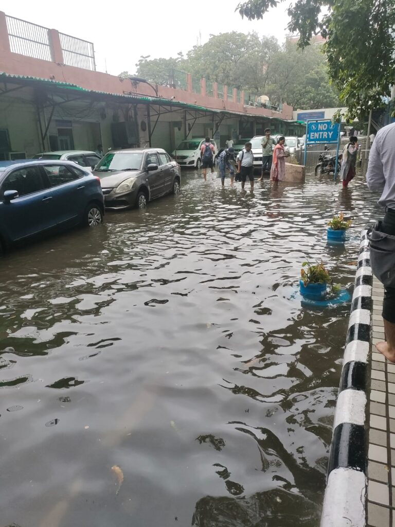
Every year, a few hours of heavy rainfall are enough to bring Indian cities to a standstill. Roads disappear under water, transport collapses, and daily life is disrupted. But do floods affect everyone equally? This blog explores why urban flooding is not just an engineering challenge, but a social one that demands a more people-centred approach to resilience.
Community Perspectives on Urban Flooding
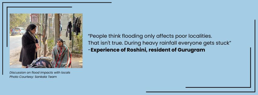
Conventional assessment helps us understand the scale of urban flooding. People’s experiences help us understand its consequences. During Sankala Foundation’s household survey on urban flooding and rainwater management in Gurugram, the team met Ms. Roshni, a resident of Sector 38 who has lived in the city for more than a decade. When we asked her about flooding, we expected to hear about blocked drains or damaged roads. Instead, she challenged one of the most common assumptions about urban flooding.
“Women who get stranded have nowhere to go.”
Research Echoes These Experiences
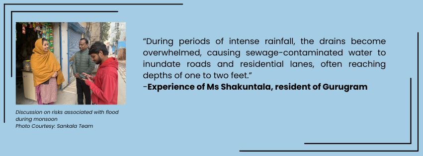
Ms. Roshni’s experience is not an isolated one. Research from South Asia increasingly shows that while flooding may expose entire communities to the same hazard, its impacts are shaped by people’s social, economic, and physical circumstances. Studies have found that women often experience additional challenges during flood events because of caregiving responsibilities, limited access to sanitation facilities, mobility constraints, and concerns related to personal safety. Similarly, daily wage workers may lose an entire day’s income when transport networks collapse, while children, older people, and people with disabilities face prolonged disruptions in accessing education, healthcare, and other essential services.
These studies do not suggest that floods affect only certain groups. Rather, they demonstrate that people experience the same flood differently depending on their circumstances. Flood events often reinforce existing inequalities by exposing differences in access to mobility, services, resources, and support systems.
Recognising these differences is important because they remain largely invisible in conventional assessments of urban flooding.
Looking Beyond Infrastructure
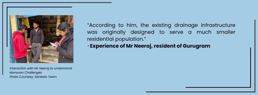
Urban flood management has traditionally focused on improving drainage systems, increasing pumping capacity, restoring natural drainage channels, and investing in nature-based solutions. These interventions remain indispensable and should continue to form the foundation of urban flood resilience.
However, infrastructure performance alone does not provide a complete picture of how cities experience floods.
Questions such as Who remained stranded the longest? Which neighborhoods lost access to essential services? How were schools, healthcare, and livelihoods affected? Can they complement technical assessments and help cities better understand the broader social impacts of flooding.
Considering these experiences alongside engineering indicators can strengthen planning, preparedness, and post flood assessments. It encourages cities to evaluate not only how effectively floodwater is removed, but also how effectively disruption to everyday life is reduced.
Looking Ahead
As climate change continues to alter rainfall patterns, Indian cities will need to adapt to more frequent and intense rainfall events. While investments in drainage systems, stormwater management, and nature-based solutions remain essential, building flood-resilient cities also require addressing how floods affect people’s lives and livelihoods.
Key priorities for building urban flood resilience include:
- Strengthening climate-resilient infrastructure by upgrading stormwater drainage systems, restoring natural drainage channels, and expanding nature-based solutions such as wetlands and urban green spaces.
- Managing rainwater as a resource, through rainwater harvesting, groundwater recharge, and integrated urban water management, reducing both flood risk during monsoon and water scarcity during dry periods.
- Incorporating social resilience into flood planning by ensuring access to healthcare, education, transport, and other essential services during and after flood events.
- Improving early warning systems and emergency preparedness through better forecasting, risk communication, and coordinated response mechanisms that reach vulnerable communities.
- Promoting risk-informed urban planning by protecting floodplains, conserving wetlands, and limiting development in high-risk areas.
- Monitoring resilience beyond infrastructure, by evaluating not only how efficiently floodwater is drained but also how effectively cities minimise disruption, protect livelihoods, and enable communities to recover.
Urban flood resilience should not be measured solely by how quickly cities remove water from their streets. It should also be reflected in their ability to protect people, sustain essential services, and recover from increasingly frequent and intense rainfall events. As climate risks continue to grow, resilient cities will be those that manage water wisely while placing communities at the centre of urban planning.
References
Subah, Z., Bala, S. K., & Ryu, J. H. (2024). Impacts of Urban Flooding on Gender in a Slum of Bangladesh. Social Sciences, 13(5), 248. https://doi.org/10.3390/socsci13050248
Author
-
View all postsDr Adeeba holds a PhD in Geography from Aligarh Muslim University, with research focused on rural and urban water systems, WASH, and water quality.
Her expertise includes water sustainability assessments, WQI, water demand and budgeting, and supply replaceability.
She is skilled in spatial and geostatistical analyses such as LULC mapping, groundwater potential zoning, and land surface temperature analysis.